Soil Subsidence
A large part of the Netherlands is peatland, which is susceptible to subsidence. Besides negative effects on buildings, roads and farmland, many greenhouse gases are released. For this reason, Waternet wants to prevent soil subsidence and, where possible, restore the peatland. This requires a socially accepted approach that slows down soil subsidence as much as possible. As there is still a lack of knowledge regarding which methods to use and how to implement them, Waternet will focus on three pillars for soil subsidence: 1) reducing indexation or taking measures to combat soil subsidence, 2) actively participate in other regions in order to improve collaboration with other public authorities, and 3) gain experience in pilot projects.
 Objectives
Develop a (socially) accepted set of measures to combat soil subsidence. Measures will be tested and have to be effective against both soil subsidence and greenhouse gas emissions. Within five years, Waternet will know how to manage (ground) water and how to reconcile governance issues, i.e. sufficient water and clean water.
Knowledge Agenda
To further improve knowledge on soil subsidence, Waternet will do more research on:
- Groundwater modelling/management
- Relationship between soil subsidence and water quality
- Relationship between soil subsidence and heat & drought
- The types of emissions are released from peat & surface water
Current projects
An overview of the projects in the field of soil subsidence can be found on Winnovatie.nl (You are leaving this website). Some examples of projects are:
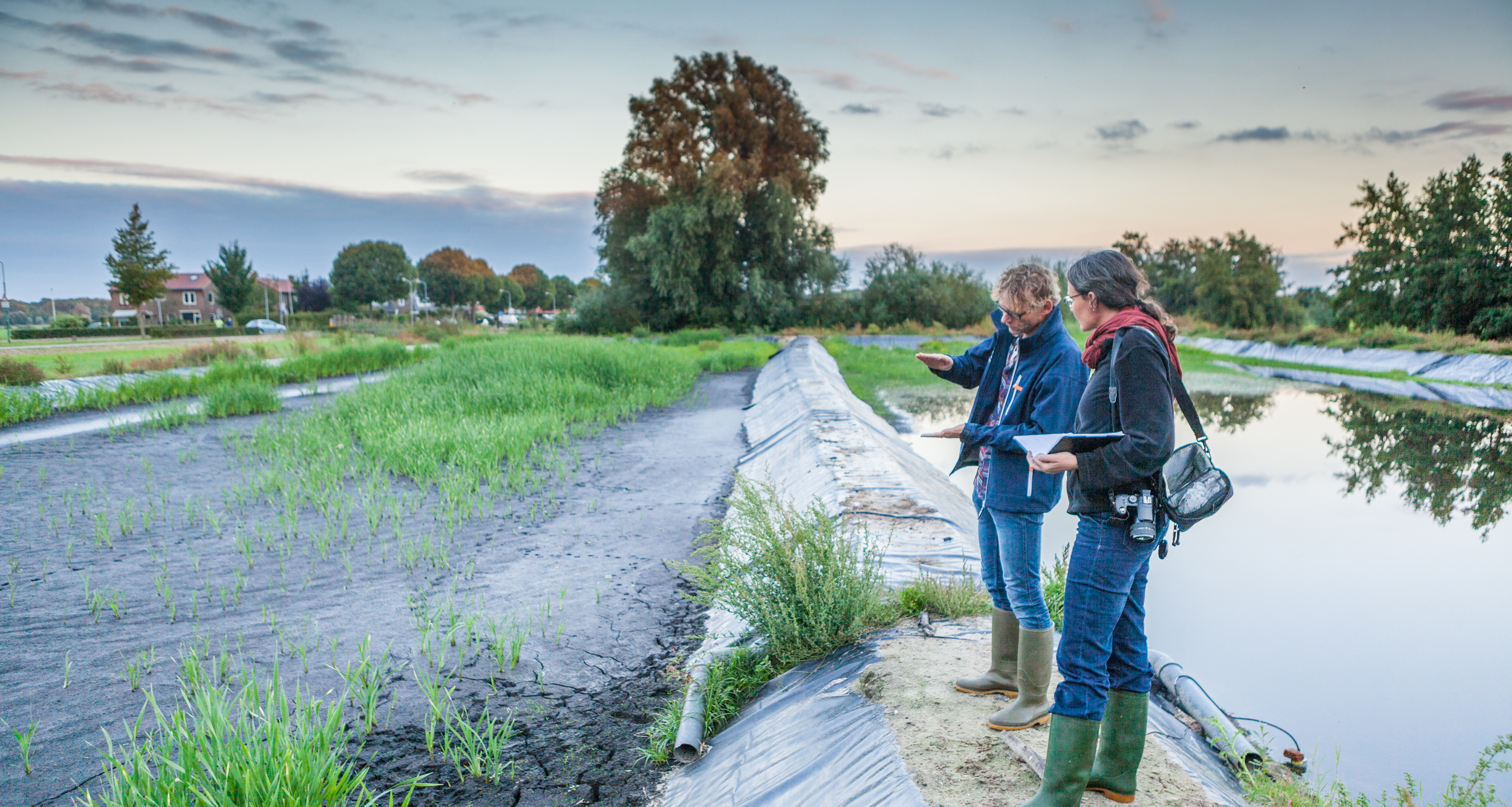
- Wet crops pilot project: a land use method to reduce CO2 emission levels from peat and to stop soil subsidence. More information (You are leaving this website).
- RE:PEAT - from interactive planning to integrated research: an interactive simulation platform that can be used to explore future scenarios in the peat meadow area. More information (You are leaving this website).
- Green Deal carbon market - Currency for Peat: a 'carbon credit' project. More information (You are leaving this website).
- The water level emissions estimator: an extra calculation step in groundwater modeling leading to better water level management decisions. More information (You are leaving this website).
- Pilot polder circular agriculture. More information (You are leaving this website).