How can drones contribute to a structural better water supply in Burkina Faso?
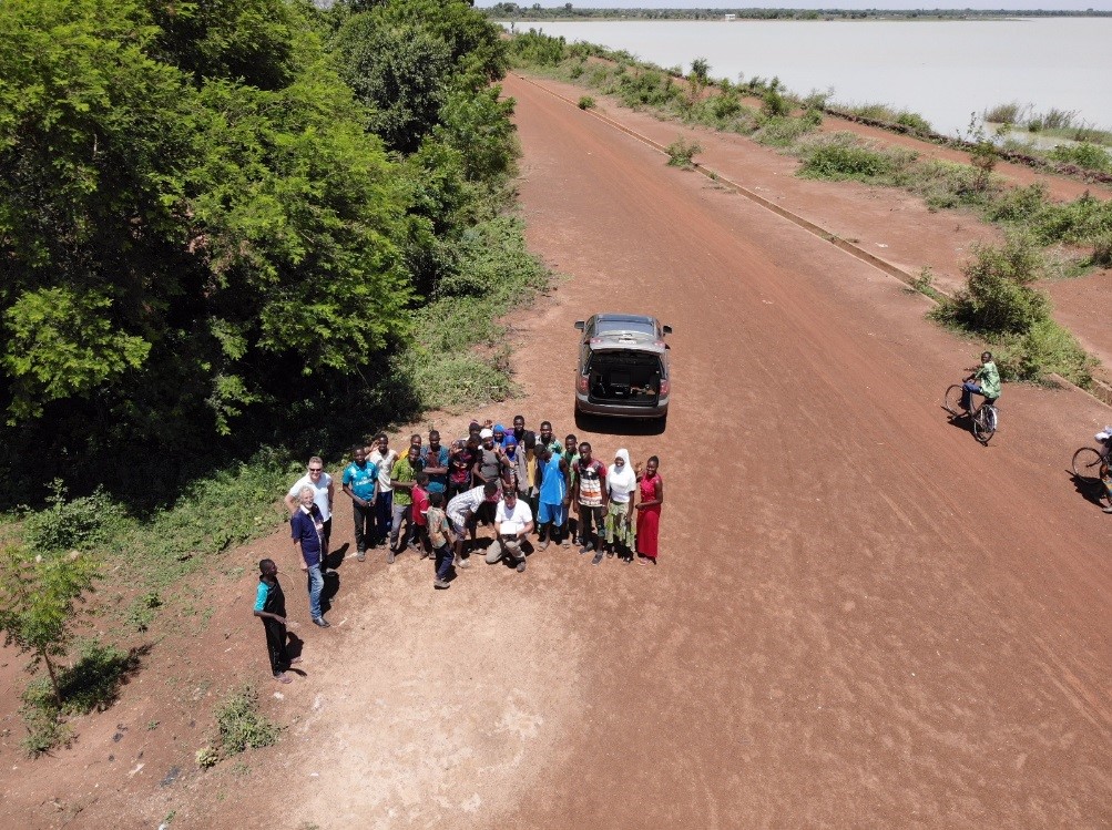
19 July 2019Together with Dutch Water Authority WDODelta we tried to answer this question during our last mission to Burkina Faso. WDODelta's drone team used drone flights to map the maintenance situation of large water reservoirs.
Figure 1: Much interest in the first drone flight in Burkina Faso ...
The importance of water reservoirs for water distribution
During the rainy season, from May till October, overflowing water is collected in large reservoirs. This water is used in the dry season. It is very important that the reservoirs continue to function properly. This means a lot of work for the local water authorities, because dams are silting up, the condition of the dam quays are poor, basins are growing with water lilies and protection zones are not properly observed.
The purpose of our mission
Our mission was part of an ongoing Develop2Build (D2B) project to renovate seven large drinking water reservoirs in Burkina Faso. The main purpose was to perform a feasibility study into the use of innovative techniques such as drones, sonar measurements and satellite images. We have investigated how innovative resources can help in policy and strategy development for sustainable and robust water supply management in Burkina Faso.
What have we learned so far?
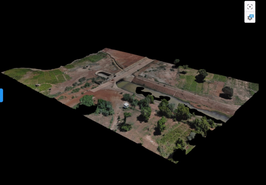
On June 29th we performed the first drone flight at the dam in Loumbila. After a 30 minute flight and post-processing of approximately seven hours, the result was a 3D map of an outstandingly high resolution. A map like this provides us with valuable information useful for maintenance and water resources planning in the reservoirs. On the map, you could immediately locate where the weak spots are in the quays-sides of the dam.
 Figure 2: High-resolution 3D map of drone flight in Loumbila (19th June 2019).
We also carried out sonar measurements, which appeared to be very useful for measuring water depth and indicating the thickness of the sludge layer. Sonar is a technique that uses sound propagation to navigate, communicate with or detect objects on or under the surface of the water. We would like to develop this further, together with the fishermen who can install sonar balls on their boats. This way, the local water authority can use sonar data to accurately map water supply and the fishermen to trace the fish.
How do we continue from here?
The first research into the use of high-resolution satellite data (10x10m) is promising. On the images you can see where the invasive pest plants occur and by measuring the water level, the water supply can be calculated.
In the coming weeks we will discuss with the local water authorioties how we can make the technology operational and contribute to a structurally better water supply in Burkina Faso. In our next mission in October we continue our innovative appraoch.
The Blue Deal programme continues as well
We are also working on better integrated water management in Burkina Faso in a Blue Deal project 'Faso Koom II'. The Blue Deal programme () offers long-term collaboration with regional and national governments in finding and developing solutions to improve water management. The programme runs till the end of 2030 and its goal is to help 20 million people in 40 catchment areas around the world gain access to clean, sufficient and safe water.
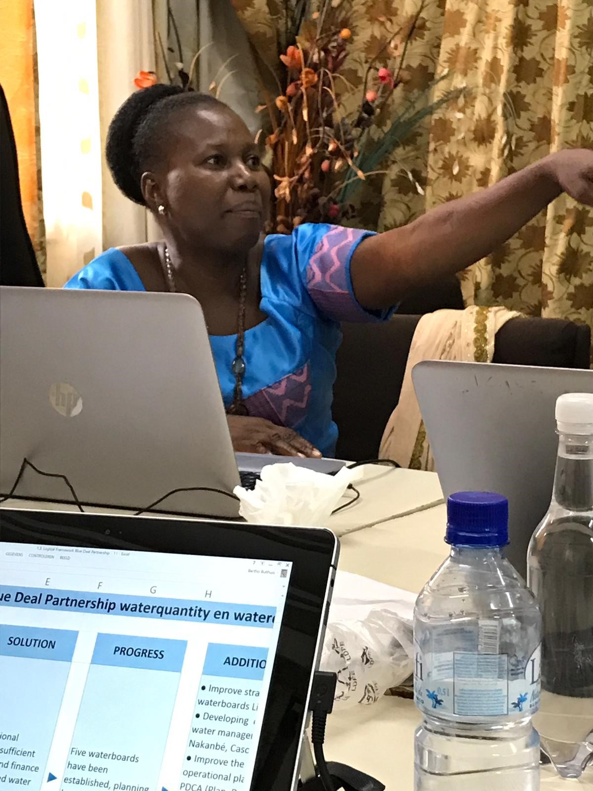
Together with our partners from Burkina Faso we have organized a three-day workshop in the capital Ouagadougou. During this workshop we made a selection of the most important indicators for good water management. We then prepared a work plan for these indicators with actions, results, hours and budgets. 
Figure 3: Mrs. Barro (Agence de l'Eau du Mouhoun) as chairman of the Blue Deal workshop.
We have also established a training module that describes the impact of gold mining on water management, including drawings with best practices. Gold mining is one of the biggest threats to the water system in Burkina Faso. A field trip was organized to the mercury- and cyanide-free gold mining technique of local project partner Alliance for Responsible Mining (ARM). The results show that this technique has the potential to replace mercury and that local miners like to use the system. Thanks to our efforts, this technique has now been included in national (mining) policy as best practice.
